Data-driven analysis
We turn raw data into clear answers—market feasibility, community perspectives, transportation impacts, and locational optimization—grounded in rigorous spatial and statistical methods.


We build on open, web-native standards, so the products we deliver aren’t trapped in a vendor’s ecosystem. Explore your data in any browser, on any device—no specialized software or platform required.
In a world quickly being overtaken by boilerplate AI solutions, we take a humanized approach to tackling planning challenges. No LLM can replace the value of expertise combined with critical thinking.
Founded by a computational urban geographer and a qualitative entrepreneurship scholar, we have an unconventionally holistic perspective. This guides our focus on both people and place.
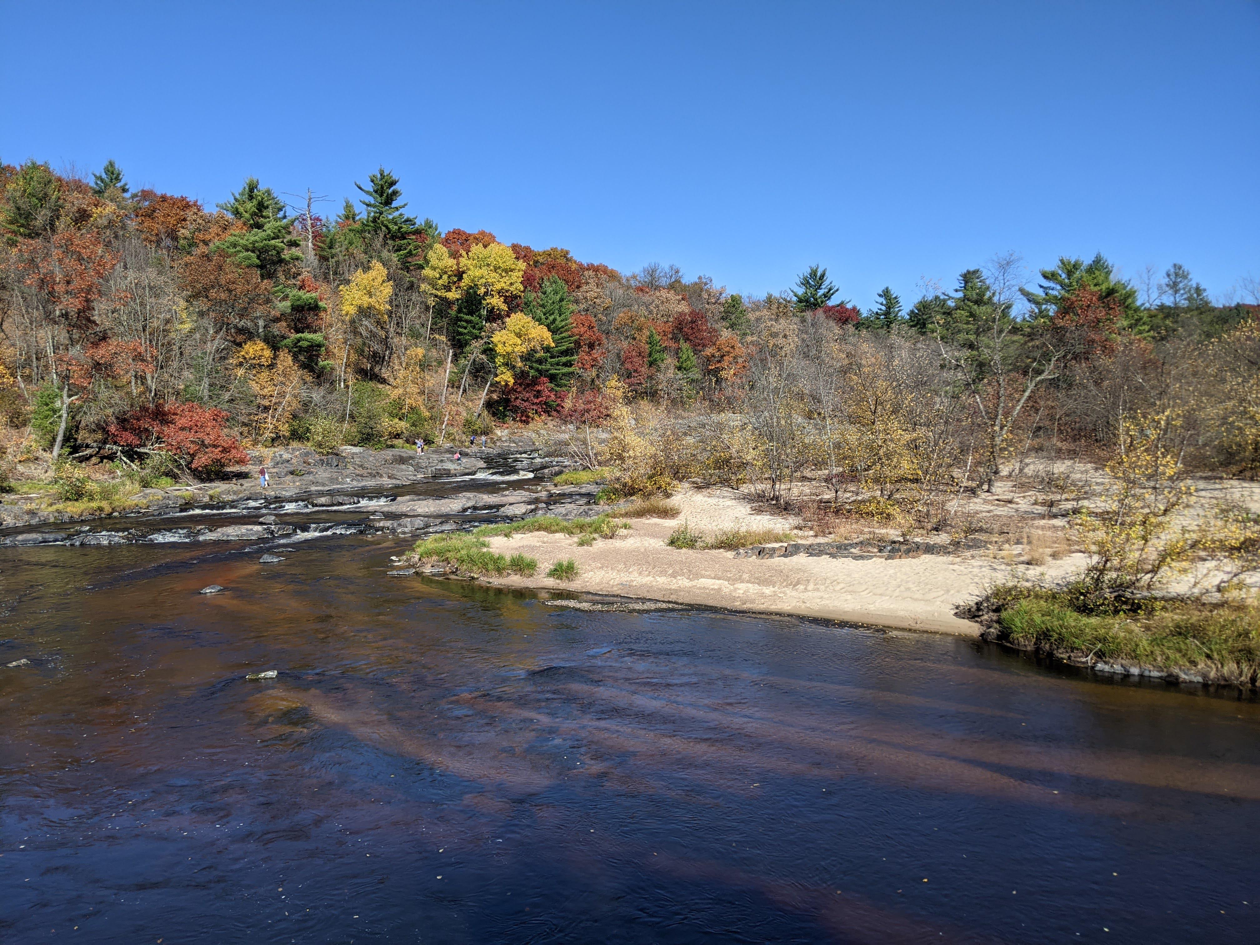
Drawing upon extensive international travel and research experience, we have a plethora of tools, techniques, and innovative approaches at our disposal. We fuse global insights with uniquely local solutions.

We help municipalities, MPOs, and developers make optimal land use decisions – balancing economic growth with disciplinary best practices. We have an ambitious goal to make 4th coast cities, towns, and villages the 1st places that come to mind when people think of sound urban design. Bold solutions are a part of our DNA, and we’re not afraid to push the boundaries of conventional development.
Start a project with usWe turn raw data into clear answers—market feasibility, community perspectives, transportation impacts, and locational optimization—grounded in rigorous spatial and statistical methods.
Need to regularly retrieve, clean, and process data for a niche application or general use within your organization? We build automated workflows that fit your needs and keep running.
We deliver findings in interactive, web-based documents built with Quarto—so clients can explore the data and methods behind every conclusion rather than reading a static PDF.
We produce interactive web maps of the highest quality that run on minimal system resources using R, mapgl, MapLibre, and deck.gl.
We develop custom geospatial web applications for gathering community input, displaying real-time data to the public, and monitoring events of interest.
Drawing on entrepreneurship research, we help organizations evaluate opportunities, understand their markets, and build strategies for sustainable economic and population growth.
Using proven research techniques, we organize focus groups and administer community surveys to uncover the problems, preferences, and needs of residents.
Work with us to develop a focused strategy for economic growth, population growth, public space utilization, or increasing road safety.

A community-driven vision plan for public space in Fountain City, Wisconsin. Resident and youth input is synthesized into guiding principles and a tiered slate of recommendations—from quick wins like trail connections and wayfinding signage to long-term strategies for multi-use trails, traffic calming, and riverfront activation.

A 7-day camping suitability dashboard ranking 131 Wisconsin and Minnesota state parks. Combines dynamic weather forecasts—temperature, precipitation, wind, air quality, and storm risk—with wetland proximity to produce a daily composite score for every park, refreshed automatically throughout the day.

Portland is one of my favorite US cities. I love its unique vibe, food cart pod
scene, alternative transportation options, and many parks. Before giving a
promotional presentation for a soon-to-be-taught Geography Field Seminar course
to Oregon, I stumbled upon the pdxTrees R package and at the same time had
been experimenting with 3D visualizations through deck.gl. I decided to put
these two together for my presentation and was satisfied at how quickly and
easily I could produce an interactive of map 200,000+ trees.

And there’s absolutely nothing wrong with that.
In summer of 2024 I made my inaugural pilgrimage to the Netherlands to visit the holy sites of urban design. After years of citing studies about the country’s forward-thinking urban planning techniques, showing videos in class of Groningen’s world class cycling infrastructure, and studying “woonerf” (living streets), I was thrilled to finally make a trip there. 1
Read more
Urban growth boundaries (UGBs) are used to reduce sprawl, preserve farmland, and force development toward city centers. While there are significant debates about their tangible impacts, in theory they should create greater residential population density. While explicitly constraining urban growth is a standard planning practice in most European countries, only three states in the US mandate them: Oregon, Washington, and Tennessee. In this post, I’ll conduct several binary comparisons of residential population densities in states that mandate UGBs with those that do not.
Read moreInterested in partnering? Send us an email at the address below or drop us line here – we’d love to hear from you!


